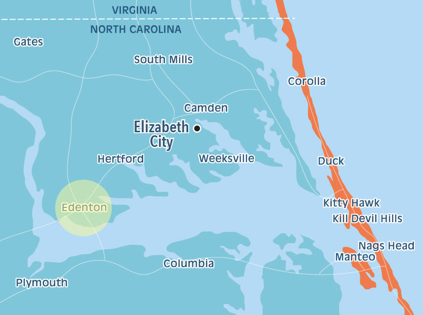
Edenton and Chowan County, North Carolina have many paddling trails. Take your kayak or canoe on one of them, which range from beginner to advanced.
This trail begins in the narrows of the creek and takes the canoeist downstream through scenic hardwood swamps to the edge of the Chowan River. As the stream approaches the river it becomes wider and is dotted with islands of buttressed stemmed cypress tress hanging full of Spanish moss. These beautiful sentinels appear to guard the mouth of the creek and one can only wonder what early explorers thought as they investigated this tributary of the Chowan River. Troutman Creek is a tributary of Catherine/Warwick Creek and offers an additional 4 miles of trail into neighboring Gates County. Warwick Creek forms the county line between Gates and Chowan Counties. It meanders through beautiful hardwood forests on its way to the Chowan River. On calm days, Holladay’s Island offers additional paddling opportunities and access to 5 camping platforms. Reservations on the platforms are required and available through the Edenton-Chowan Recreation Department.
Difficulty: Moderate, due to length and open water at mouth of creek Skill Level: Beginner/intermediate Distance: 5 miles Time: 3-5 hours Accesses: SR 1232 - Cannons Ferry Rd Camping: 5 platforms on Holladay’s Island
Beginning at the old milldam this short scenic trail can be completed in a morning or afternoon. This trail has many mature trees bordering its banks which give the effect of canoeing through twin columns of tall ancient sentries. The mouth of the creek becomes quite wide as it dumps its murky tannic acid waters into the Chowan River. Typical to the area, the mouth of the creek is dotted with solitary cypress trees. Located at the milldam is the old mill, which has been converted to electricity. If you are lucky enough to catch the miller in, you can purchase cornmeal ground by the old stones of the mill. Remnants of the millpond are still visible and the canoeist can explore the stream that once fed the millpond and provided power to the mill.
Difficulty: Easy Skill Level: Beginner Distance: 4 miles Time: 2-3 hours Accesses: SR 1226 - Dillard’s Mill Rd Camping: None
Difficulty: Easy/moderate Skill Level: Beginner/intermediate Distance: 4 miles Time: 3 - 4 hours Accesses: SR 1208 - Wildcat Rd AND SR 1200 - Macedonia Rd / Mexico Rd Camping: 5 platforms adjacent on John’s Island
Difficulty: Easy Skill Level: Beginner Distance: 4 miles Time: 2 - 3 hours Accesses: 1. Edenton Waterfront Park 2. Queen Anne Park 3. NC 32 Bridge 4. Cotton Mill Boardwalk Camping: None
Picnic area available Difficulty: Easy Skill Level: Beginner Distance: Rocky Hock: 4 miles Bennett;s Mill: 3 miles Time: Rocky Hock: 3 hours Bennett’s Mill: half /whole day Accesses: SR 1207 - Rocky Hock Creek Rd / Cowpen Neck Rd Camping: Yes, Primitive
Difficulty: Moderate Skill Level: Intermediate Distance: 4 miles Time: 2 - 4 hours Accesses: SR 1120 - Montpelier Dr Camping: None